Tags
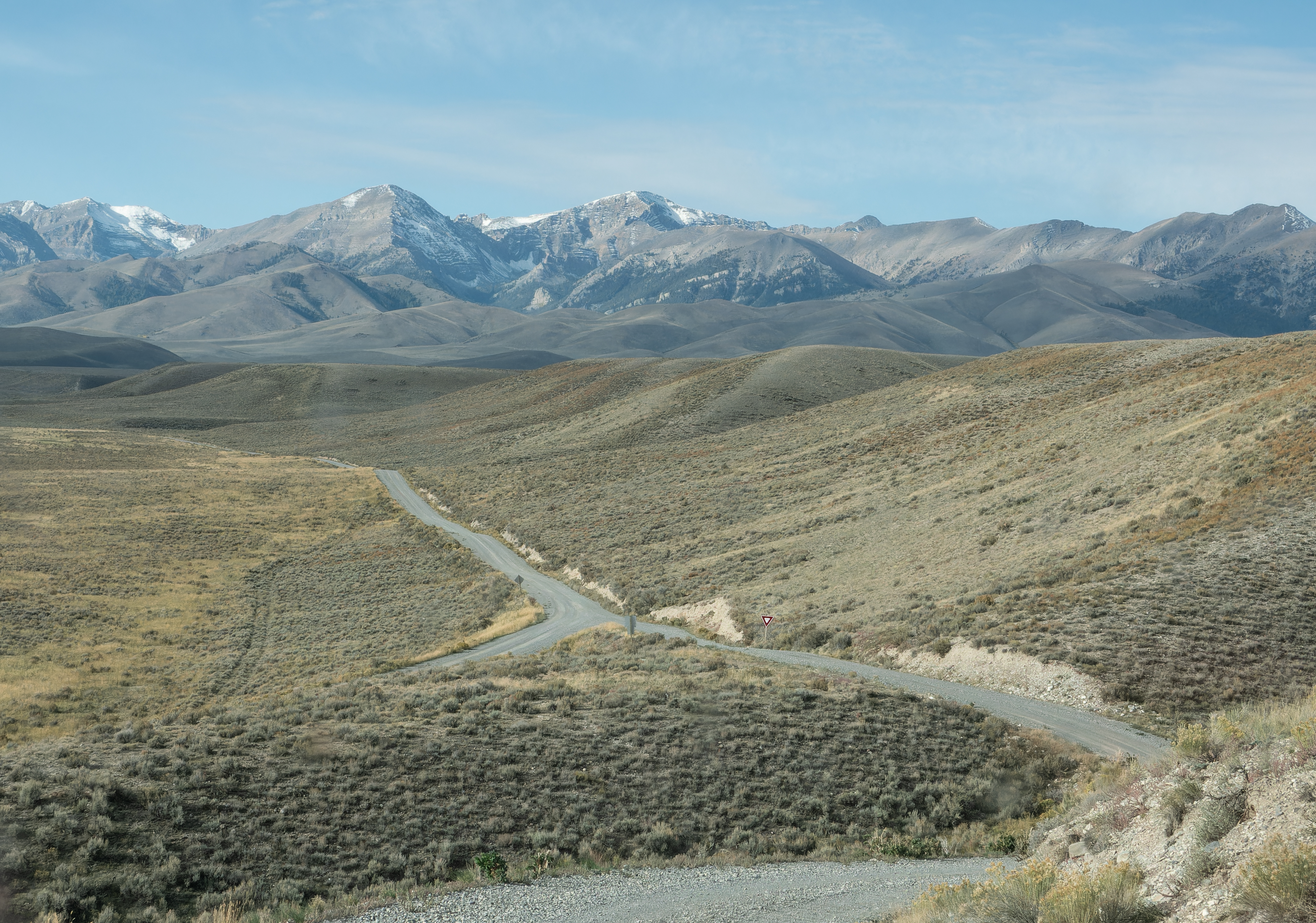
Such magnificent views. I wanted to see the mines above Mackay, so I drove the Pass Creek Road westward. It was gorgeous and the view of the road below made me chuckle. Look closely in the photo below and you will see a yield sign by the intersection. Is the yield sign needed in the middle of nowhere?
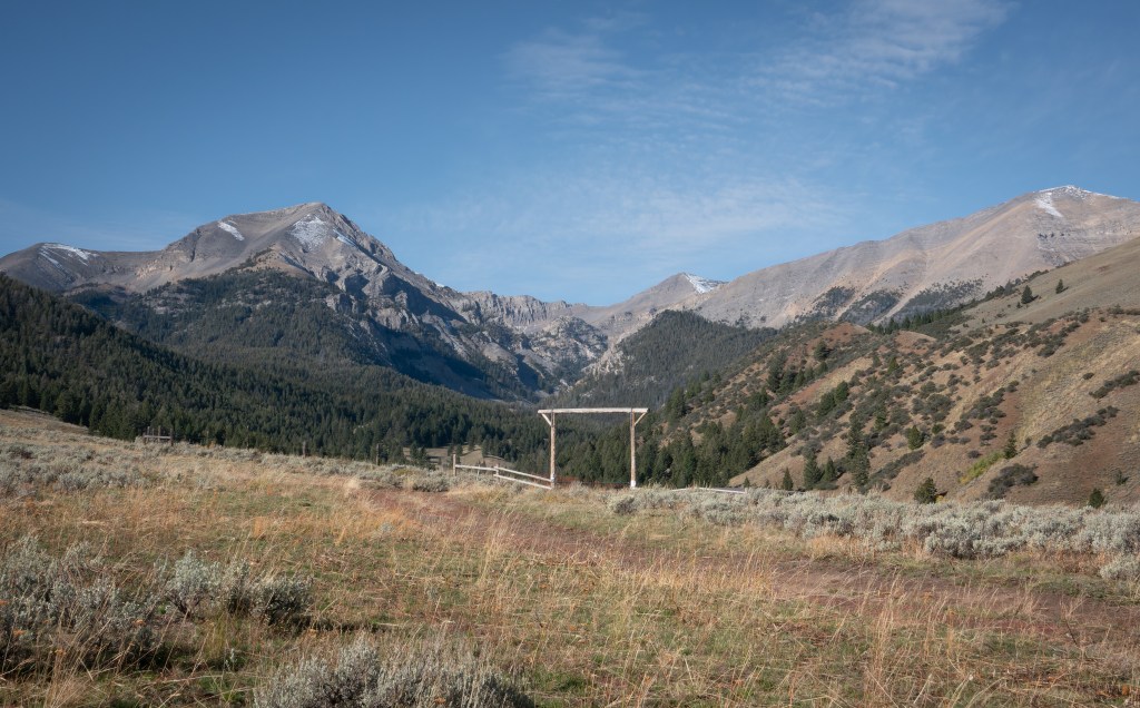
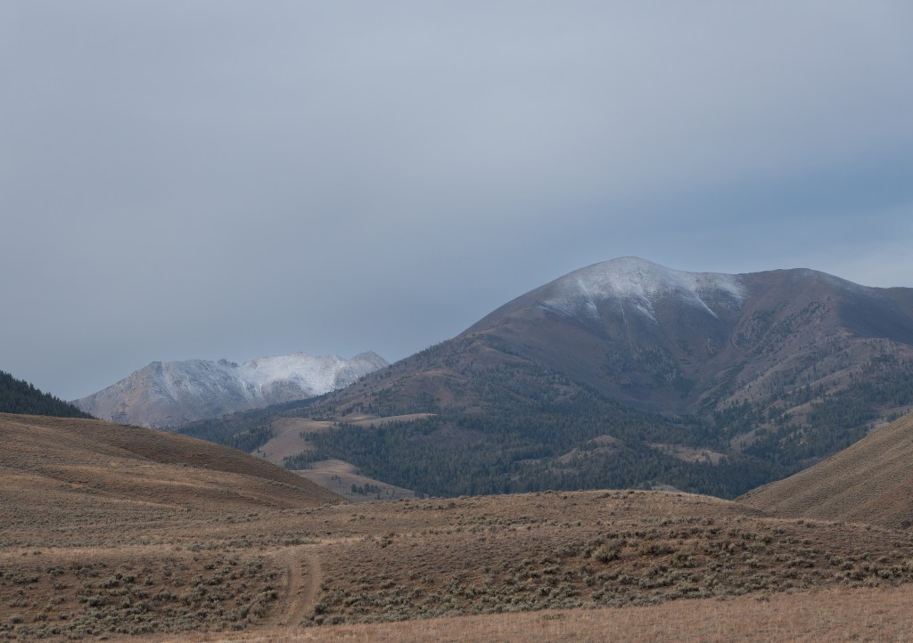
Knowing that cold rainy/snowy weather was coming, I set aside the next day to explore the mining area above Mackay before the bad weather hit. That day I drove to Copper Basin – it had been recommended to me. It was a mistake. I should have left it for another trip. By the time I got the Copper Basin I was tired of driving. I made my home for the night at the intersection of the loop road without exploring further. But I was becoming smitten with Idaho and had started thinking of this as my recon trip for future trips. I’ll come back to Copper Basin in the future.
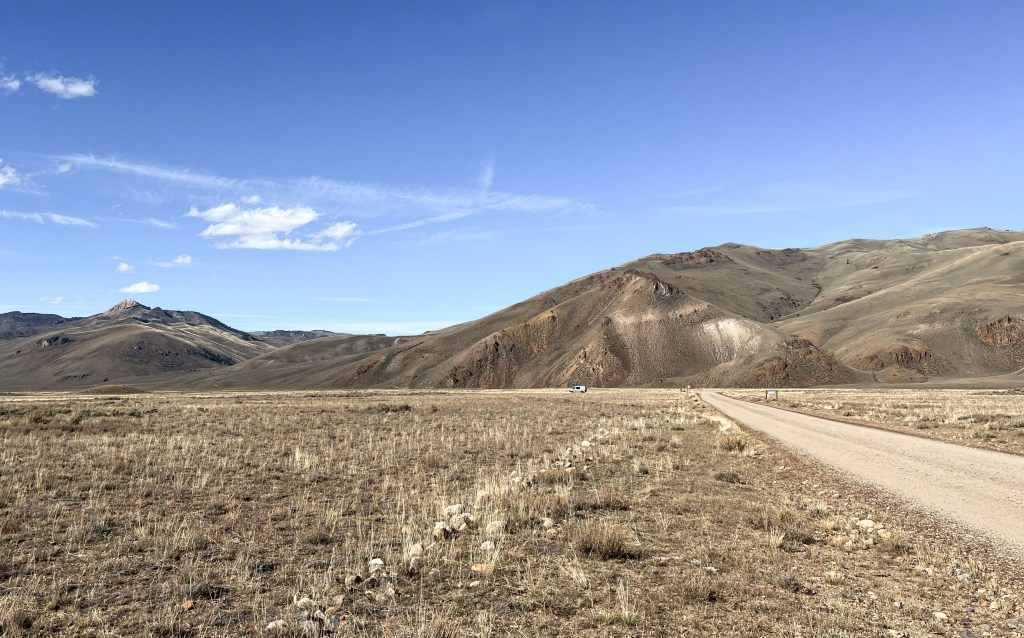
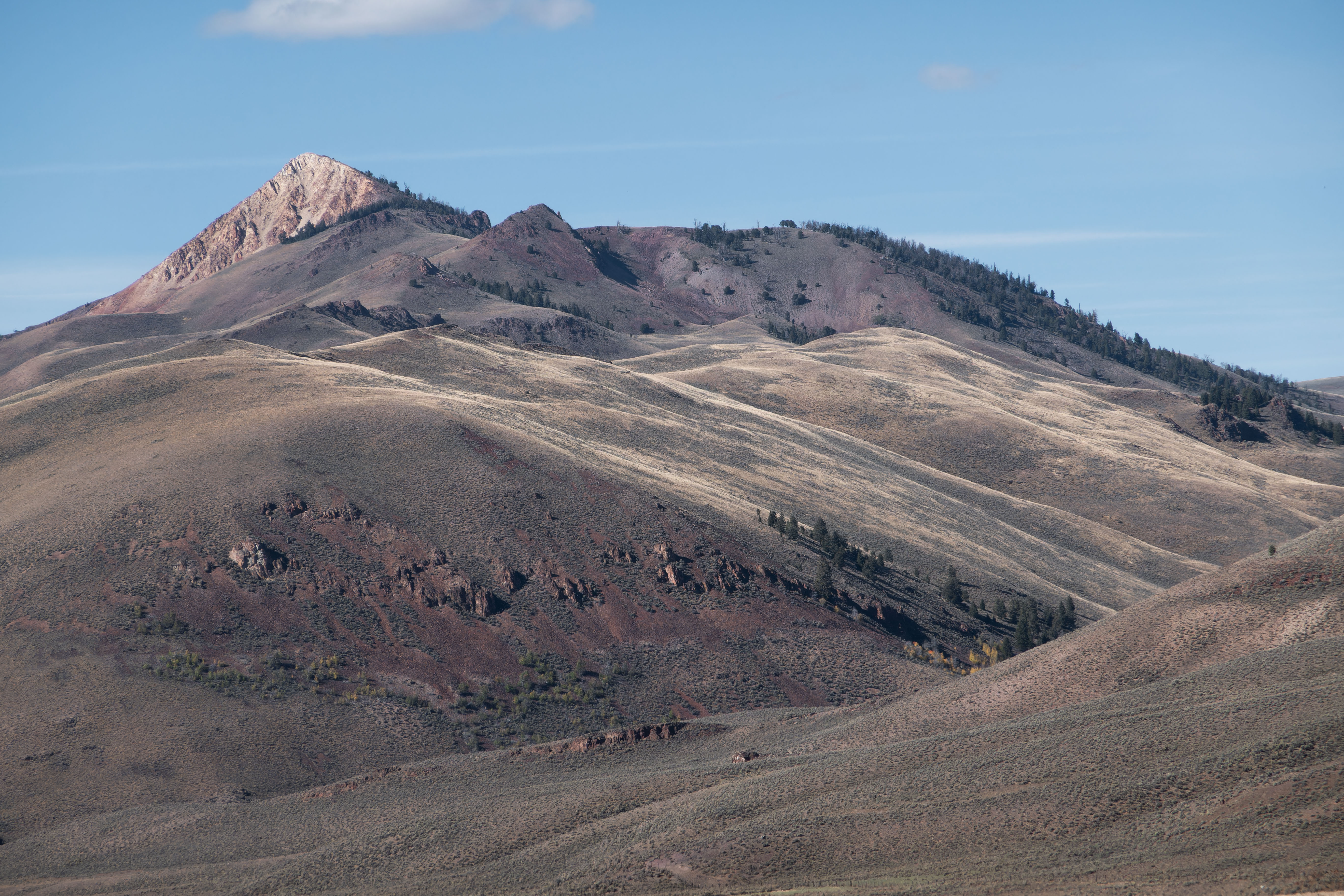
My exploration of the Mackay mines the next day was a semi bust. My maps didn’t match what I saw, and maps contradicted each other. I’ll come back after getting more information. But I did see a bit of the mining history.

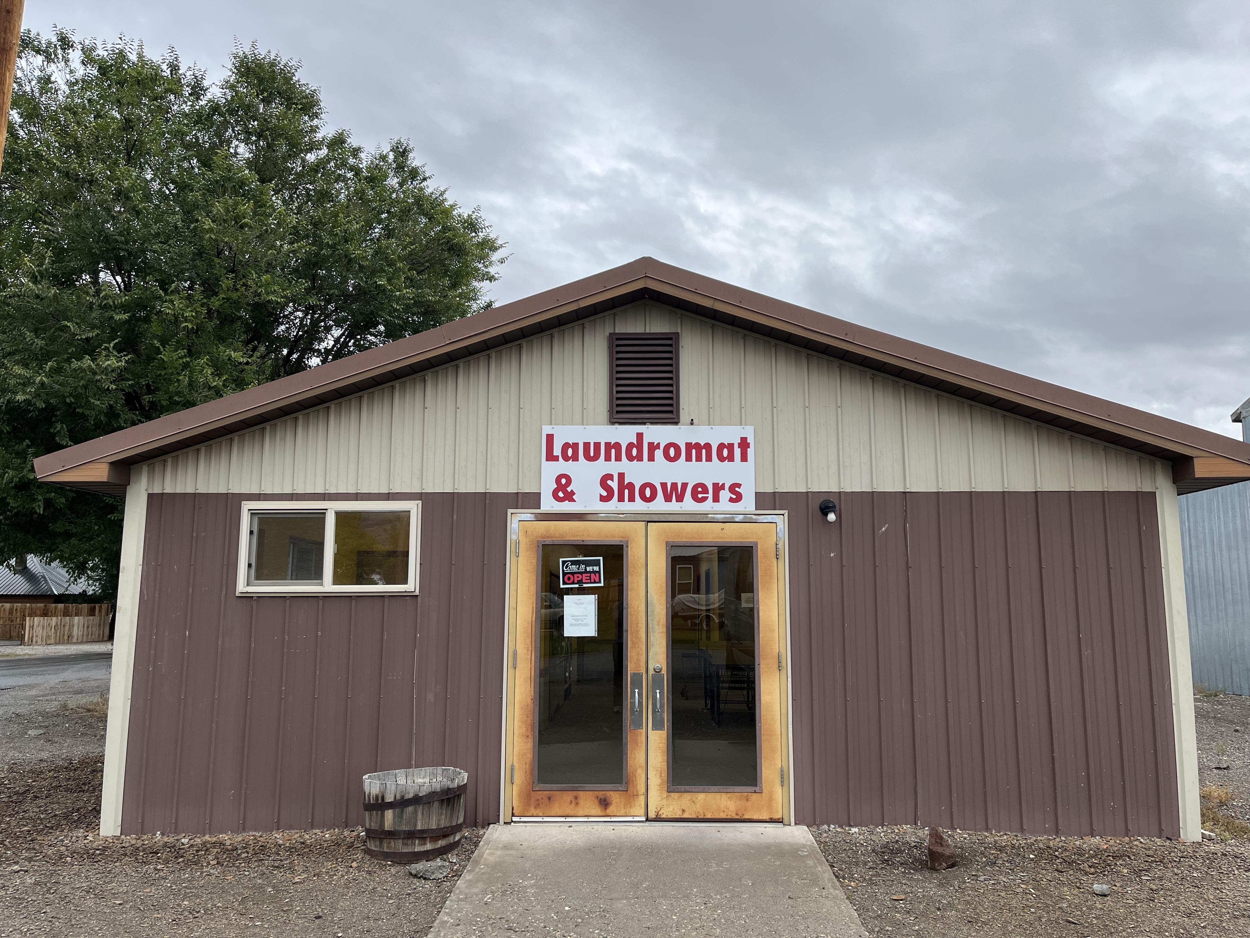
After spending another night in the area, I decided to abandon plans to keep exploring the area due to rain, and head to warmer lower elevations after an important stop in Mackey.